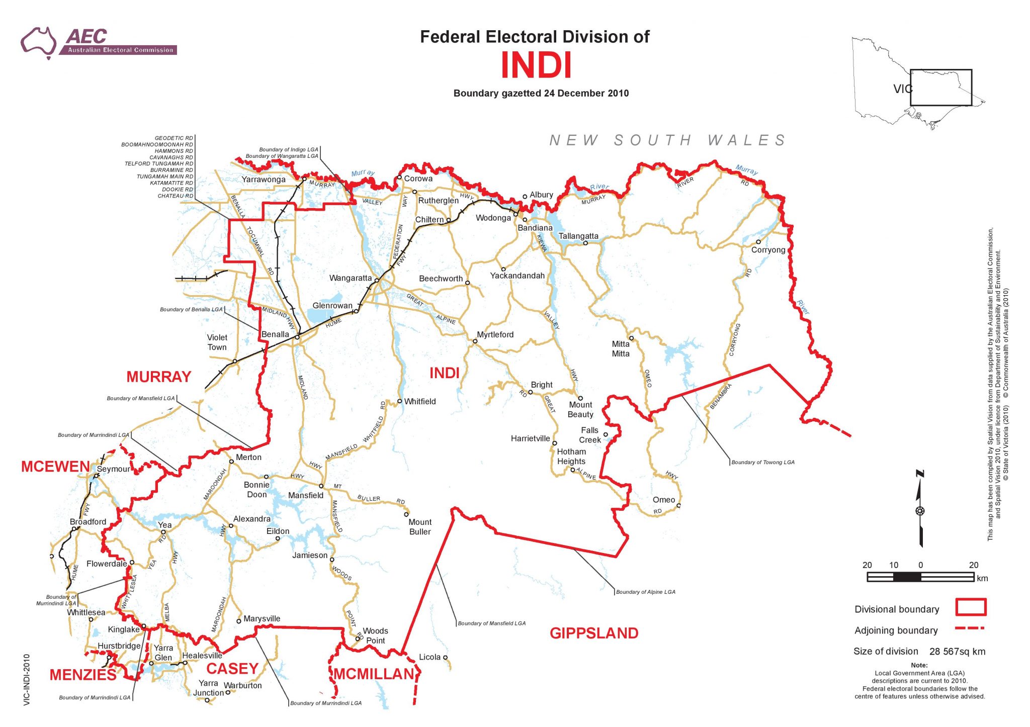
Named after the Aboriginal name for the Murray River, the electorate of Indi covers a vast and diverse segment of Victoria – 29,187 sq km in all – and represents a population of approximately 130,000 people. Comprising rural towns and large regional centres like Wangaratta, Wodonga, Benalla and Mansfield, the electorate spans the north-east of Victoria from the Wodonga Rural City Council, sweeping across to the easternmost parts of the Strathbogie Shire and brushing across the regions just north of Melbourne to include Murrindindi Shire Council.
In its entirety, Indi electorate comprises:
This map depicts the boundaries of the electorate of Indi as they existed when Cathy was MP. The boundaries changed in 2019 to incorporate part of Strathbogie Shire, with a further change slated for sometime before the 2021/22 election.
I acknowledge and respect Aboriginal and Torres Strait Islander Elders past, present and future and honour the stories, traditions and culture of the Traditional Custodians of the unceded land upon which I live and work. And I commit to truth telling, treaty and a voice, towards building a just and inclusive future with our First Nations people.